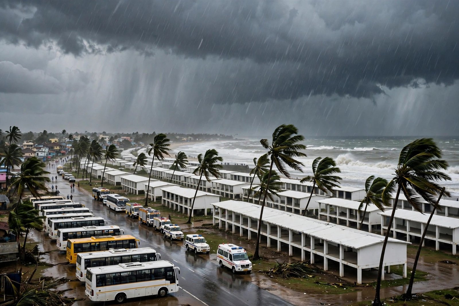


Authorities in Odisha moved more than 160,000 people to safer locations on Monday, November 2, 2026, as Cyclone Murasu advanced across the Bay of Bengal towards the south Andhra Pradesh coast, in a large precautionary operation launched while parts of the state were still recovering from the previous week’s Cyclone Arnab.
The India Meteorological Department (IMD) said the severe cyclonic storm was expected to cross the south Andhra Pradesh coast between Nellore and Narsapur during the night of November 2 and the early hours of November 3, with sustained winds of 100 to 110 kilometres per hour and gusts reaching up to 120 kilometres per hour. In Odisha, the focus of the operation was on the southern districts, where heavy rain was forecast and where soil already saturated by the earlier storm raised the risk of landslides.
Odisha’s Revenue and Disaster Management Department said eight districts were placed on alert, and more than 300 teams from the National Disaster Response Force (NDRF), the Odisha Disaster Rapid Action Force (ODRAF) and the Odisha Fire Service were deployed. Officials said the state government aimed to move about 333,000 people to safety by Monday night, with 1,139 shelters prepared to hold them.

A second storm in quick succession
The timing of Cyclone Murasu made the operation unusually difficult. Cyclone Arnab had struck the region only days earlier, bringing floods and landslides to Odisha and damaging crops and power infrastructure. In Ganjam district, which officials said bore the brunt of Arnab, the administration set a target of relocating 294,752 people, of whom 151,434 had already been shifted to safer locations by Monday afternoon, according to the state government.
Special Relief Commissioner Rajesh Prabhakar Patil said the IMD forecast showed Murasu intensifying over the Bay of Bengal and moving towards the Andhra Pradesh coast. At one stage on Monday, the system was reported to be around 160 kilometres from Nellore and about 240 kilometres from Machilipatnam, moving at roughly 12 kilometres per hour.
Revenue and Disaster Management Minister Suresh Pujari said the state government was fully prepared to deal with the possible impact of the storm and urged people not to panic but to remain alert. The message from officials was consistent: the evacuation was precautionary, and the greatest risks in Odisha were expected to come from heavy rain and landslides rather than from the storm’s core winds, which were forecast to strike further south.
Schools, colleges and Anganwadi centres in Ganjam district were closed until November 3, and educational institutions in several other southern districts were also shut as a precaution. In Kandhamal district, where landslides after Cyclone Arnab had claimed three lives, a total of 2,394 people, including 848 men, 1,030 women and 450 children, were accommodated in 35 permanent shelters, officials said.
Landslide risk in focus
One of the most sensitive parts of the operation was in Gajapati district, where officials identified nearly 150 landslide-prone locations. With rain continuing for close to a week, the risk of slopes giving way had increased, and the administration moved residents from vulnerable settlements to safer places, with instructions to complete the evacuation of identified locations by Monday afternoon.
In Koraput district, around 500 people had moved to permanent shelters by Monday, with 506 shelters kept ready and three already operational. In Kandhamal, one ODRAF team, two NDRF teams and nine fire service teams were kept ready, and control rooms were operational in all three districts, with senior officials monitoring the situation.
Water levels in the Vamsadhara and Mahendratanaya rivers were being closely monitored, officials said, and nodal officers were appointed in villages to coordinate emergency measures. The IMD issued warnings of heavy to very heavy rainfall for Ganjam, Gajapati, Rayagada, Koraput and Malkangiri districts on November 3 and 4, with an orange warning — the second-highest level — for several of those districts.
Fishermen were advised not to venture into the south-east and south-west Bay of Bengal on November 2 and 3. In Andhra Pradesh, at least 19 domestic flights were cancelled at Vijayawada, Tirupati and Visakhapatnam airports on Monday, as the storm approached.
What the storm is expected to bring
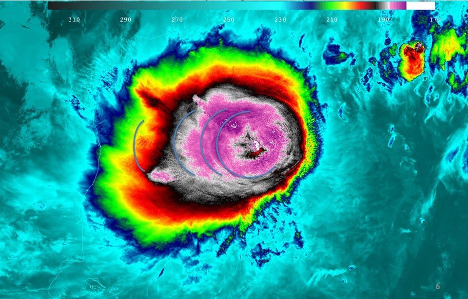
According to the IMD, Murasu was expected to make landfall as a severe cyclonic storm, bringing winds of 100 to 110 kilometres per hour, gusting to 120 kilometres per hour, to the south Andhra Pradesh coast. In southern Odisha, winds of 50 to 60 kilometres per hour, gusting to 70 kilometres per hour, were expected during landfall, along with heavy to extremely heavy rain in several districts through Tuesday, with further rain expected on November 4 and 5.
That combination — strong winds further south and prolonged heavy rain in Odisha — shaped the response. In Odisha, the emphasis was less on wind damage and more on flooding, waterlogging and landslides in districts already weakened by Arnab. Officials said rescue work in areas affected by the earlier storm had picked up pace after three days without significant rainfall, but the arrival of a second system threatened to undo some of that progress.
The state was also continuing its search for 10 people missing in a landslide as the weather worsened, a reminder of how dangerous saturated hillsides can become when a second round of rain arrives. Authorities said extensive arrangements had been made for evacuation, shelter, drinking water supply and emergency medical services, with shelters stocked and medical teams on standby.
What happens next
Once Murasu crosses the coast, attention will turn to assessing damage in Andhra Pradesh and to monitoring rainfall, river levels and landslide risk in southern Odisha over the following days. The IMD forecast of heavy rain through November 4 and 5 means that the risk in Odisha will not end at landfall, and officials are expected to keep shelters open and response teams deployed until the rain eases.
Authorities will also need to manage the return of evacuated residents, checking that homes and roads are safe before people go back, particularly in landslide-prone areas. Schools and other institutions closed as a precaution are expected to reopen only after local assessments.
For now, officials have urged residents in vulnerable areas to follow official instructions, avoid venturing into the sea, and stay away from flooded roads and unstable slopes. The operation in Odisha is a test of a system that has been used repeatedly in recent years: early warnings, large-scale precautionary evacuations, and a network of shelters designed to keep people safe while a storm passes. Whether Murasu causes serious damage will become clearer once it makes landfall, but the scale of the evacuation shows how seriously the authorities are taking a second storm in such quick succession.
Sources: The New Indian Express; India TV News; OdishaBytes; The Statesman; The Times of India; Orissa Post.